Namespace urn:xml-gov-au:icsm:egeodesy:0.4
Diagram
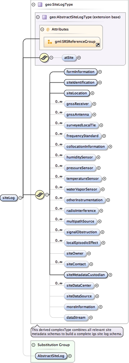
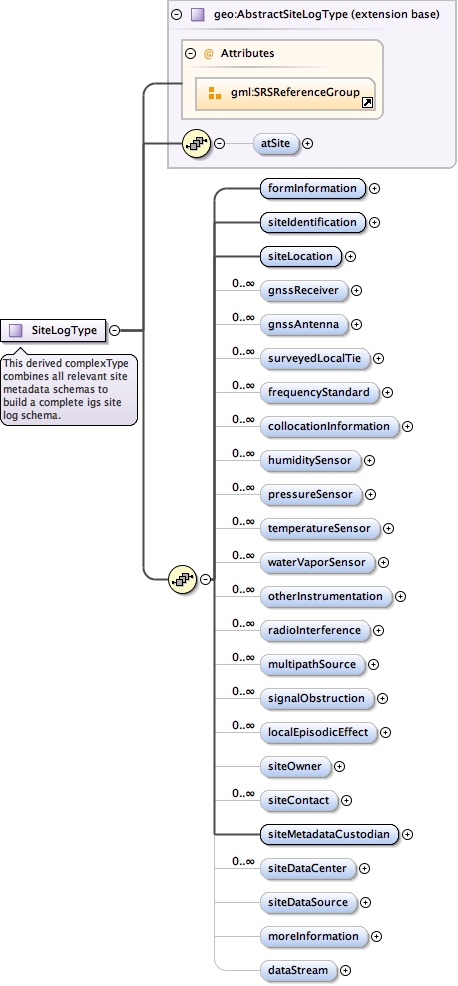
Type geo:SiteLogType
Type hierarchy
Properties
Substitution Group Affiliation
Model
geo:atSite{0,1} ,
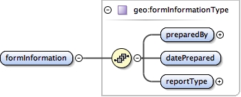
geo:formInformation ,
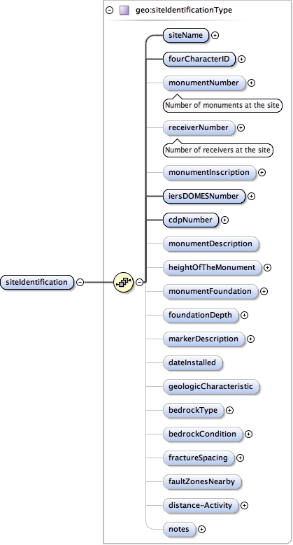
geo:siteIdentification ,
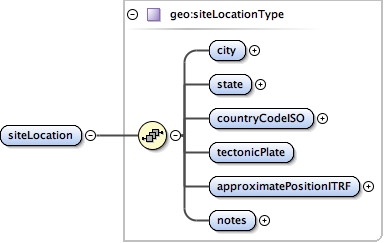
geo:siteLocation ,
geo:gnssReceiver* ,
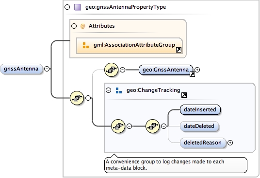
geo:gnssAntenna* ,
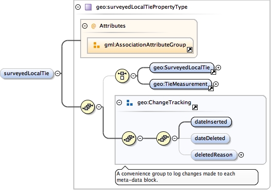
geo:surveyedLocalTie* ,
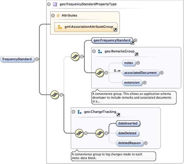
geo:frequencyStandard* ,
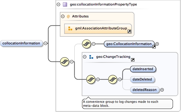
geo:collocationInformation* ,
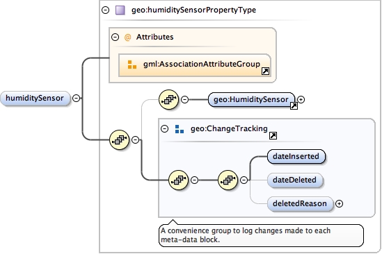
geo:humiditySensor* ,
geo:pressureSensor* ,
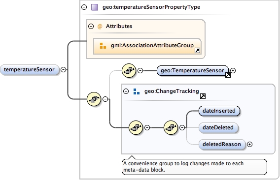
geo:temperatureSensor* ,
geo:waterVaporSensor* ,
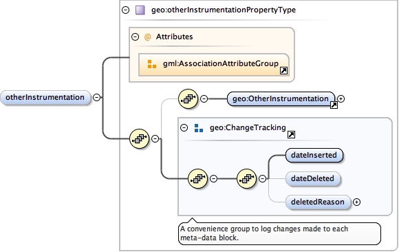
geo:otherInstrumentation* ,
geo:radioInterference* ,
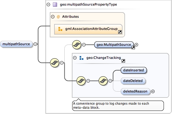
geo:multipathSource* ,
geo:signalObstruction* ,
geo:localEpisodicEffect* ,
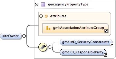
geo:siteOwner{0,1} ,
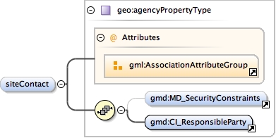
geo:siteContact* ,
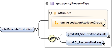
geo:siteMetadataCustodian ,
geo:siteDataCenter* ,
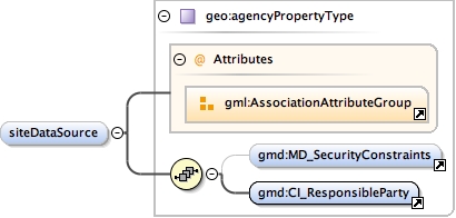
geo:siteDataSource{0,1} ,
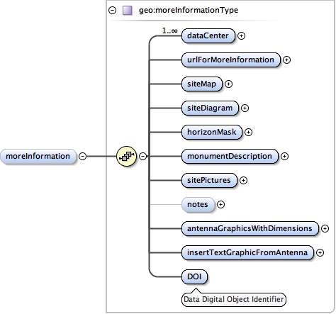
geo:moreInformation{0,1} ,
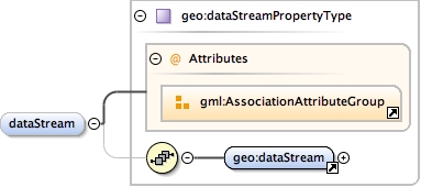
geo:dataStream{0,1}
Children geo:atSite geo:collocationInformation geo:dataStream geo:formInformation geo:frequencyStandard geo:gnssAntenna geo:gnssReceiver geo:humiditySensor geo:localEpisodicEffect geo:moreInformation geo:multipathSource geo:otherInstrumentation geo:pressureSensor geo:radioInterference geo:signalObstruction geo:siteContact geo:siteDataCenter geo:siteDataSource geo:siteIdentification geo:siteLocation geo:siteMetadataCustodian geo:siteOwner geo:surveyedLocalTie geo:temperatureSensor geo:waterVaporSensor
Instance
<geo:siteLog xmlns:geo= "urn:xml-gov-au:icsm:egeodesy:0.4" >
<geo:atSite > {0,1} </geo:atSite>
<geo:formInformation > {1,1} </geo:formInformation>
<geo:siteIdentification > {1,1} </geo:siteIdentification>
<geo:siteLocation > {1,1} </geo:siteLocation>
<geo:gnssReceiver > {0,unbounded} </geo:gnssReceiver>
<geo:gnssAntenna > {0,unbounded} </geo:gnssAntenna>
<geo:surveyedLocalTie > {0,unbounded} </geo:surveyedLocalTie>
<geo:frequencyStandard > {0,unbounded} </geo:frequencyStandard>
<geo:collocationInformation > {0,unbounded} </geo:collocationInformation>
<geo:humiditySensor > {0,unbounded} </geo:humiditySensor>
<geo:pressureSensor > {0,unbounded} </geo:pressureSensor>
<geo:temperatureSensor > {0,unbounded} </geo:temperatureSensor>
<geo:waterVaporSensor > {0,unbounded} </geo:waterVaporSensor>
<geo:otherInstrumentation > {0,unbounded} </geo:otherInstrumentation>
<geo:radioInterference > {0,unbounded} </geo:radioInterference>
<geo:multipathSource > {0,unbounded} </geo:multipathSource>
<geo:signalObstruction > {0,unbounded} </geo:signalObstruction>
<geo:localEpisodicEffect > {0,unbounded} </geo:localEpisodicEffect>
<geo:siteOwner > {0,1} </geo:siteOwner>
<geo:siteContact > {0,unbounded} </geo:siteContact>
<geo:siteMetadataCustodian > {1,1} </geo:siteMetadataCustodian>
<geo:siteDataCenter > {0,unbounded} </geo:siteDataCenter>
<geo:siteDataSource > {0,1} </geo:siteDataSource>
<geo:moreInformation > {0,1} </geo:moreInformation>
<geo:dataStream > {0,1} </geo:dataStream>
</geo:siteLog>
Source
<element name= "siteLog" type= "geo:SiteLogType" substitutionGroup= "geo:AbstractSiteLog" />
Schema location file:/Users/boss/dev/GeodesyML/schemas/siteLog.xsd